
Red Track Luyksgestel
Surroundings
The Boscheindroute lies roughly to the west of Luyksgestel. The route runs through the woodland areas of Postelse Heide, Venakkerbosch, Riebos and Stevensbergen. Each area has its own characteristic flora and fauna. Close to the Belgian border lies Brabant’s highest point (43.7 metres above sea level). The ground vegetation consists mainly of various types of mosses and herbs. Around fifty species of birds breed in the area, including rare birds such as goshawks, buzzards, hobby falcons and owls. Amphibians and reptiles live mainly on the heathland. In addition, a wide range of mammals have their permanent home here.
Here’s what you’ll see
Description
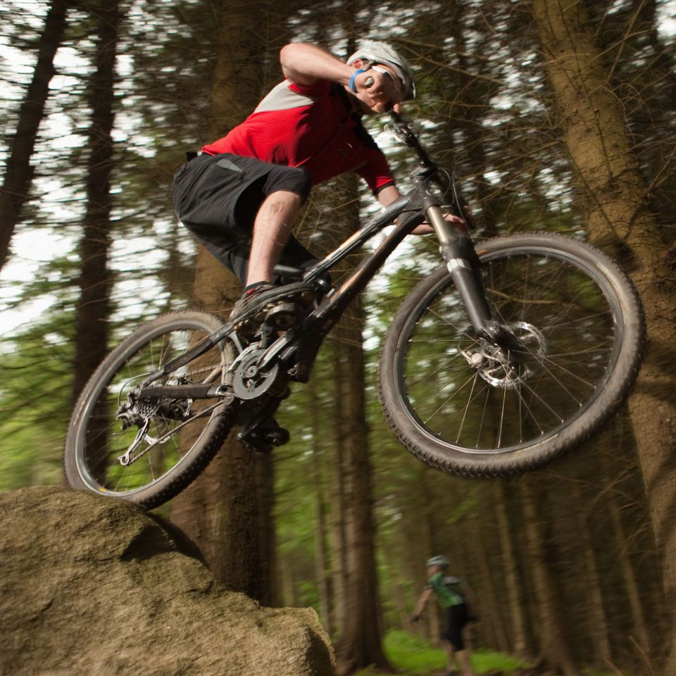
The 35-kilometre-long Boscheindroute is a relatively flat route consisting almost entirely of unpaved paths. Many of the paths are specially constructed single tracks.
The route isn’t difficult, but its length provides plenty of challenge.
Parts of the route are used by motocross riders and horse riders; within the route, you can cycle various loops.
Four fixed mountain bike routes have been marked out in the Kempen forests. These routes can be linked together, creating a network of over 120 km.
The other routes are those of Bladel, Eersel and Reusel.
Signposting
: The route is signposted with wooden posts bearing the international MTB symbol in red (a triangle with two circles underneath).
Starting
point You can start the route at:
- Kruiskapel, Kapellerweg, 5575 BG in Luyksgestel → Plan your route
- 't Sand, Witrijtseweg 3, 5571 XJ in Weebosch → Plan your route
- Lommelsedijk in Lommel → Plan your route