
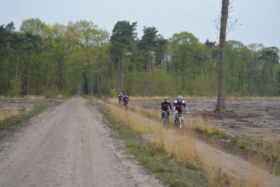
Bladel MTB route
The route is 33.8 kilometres long, runs anti-clockwise (CCW), and is marked with posts bearing the international MTB symbol (a triangle with two circles underneath) in green; the difficulty level of this route is blue = moderate.
Starting point
: Sportpark De Smagtenbocht, Egyptischedijk 11, 5531 NE in Bladel , or de Pals car park, De Pals, 5527 PA in Hapert.
The 39-kilometre-long Pals Route lies south of Bladel and west of Eersel (near Ei…
The route is 33.8 kilometres long, runs anti-clockwise (CCW), and is marked with posts bearing the international MTB symbol (a triangle with two circles underneath) in green; the difficulty level of this route is blue = moderate.
Starting point
: Sportpark De Smagtenbocht, Egyptischedijk 11, 5531 NE in Bladel , or de Pals car park, De Pals, 5527 PA in Hapert.
The 39-kilometre-long Pals Route lies south of Bladel and west of Eersel (near Eindhoven). The route passes through various woodland areas, including the Cartierheide and Hapertse Heide. Here, remnants of urn fields and settlement sites from the Stone Age and Iron Age can still be found. The ground vegetation consists mainly of various species of mosses and herbs. Around 24 species of birds breed in the area, including rare birds such as the curlew, the stonechat, the yellowhammer and the tree pipit. Amphibians and reptiles live mainly on the heathland. In addition, a wide range of mammals have their permanent home here. The Palsroute consists of two loops which can be cycled separately or as a single long circuit. The northern loop is 16 kilometres long. This loop presents few technical challenges and mainly follows wider forest tracks. However, you can enjoy the beautiful natural surroundings and the peace and quiet along the way. The southern loop, which is 18 kilometres long, is considerably more exciting. The route consists almost entirely of single tracks, roots, sharp bends and tricky sections. Here too, the landscape is stunning and the woods are teeming with wildlife.
Four permanent mountain bike routes have been marked out in the Kempen forests. These routes can be linked together, creating a network of over 120 km. The other routes are those in Eersel, Luyksgestel and Reusel.
If route signs are missing or there are issues with the tracks, you can report this to ‘Meldpunt Visit Brabant’.
Source: mtbroutes.nl
Here’s what you’ll see
-
Starting point:
Sportpark de Smagtenbocht
Egyptischedijk
5531 NE Bladel
Navigate to the starting point