Lage Mierde
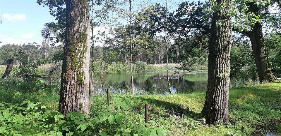
Lage Mierde and the nearby Hooge Mierde share a history to some extent. Until 1997, these two villages together formed the municipality of ‘Hooge en Lage Mierde’. Today, they are two separate villages, each with its own specific and distinctive characteristics. Lage Mierde lies on a ridge between two small rivers, which converge to the north of the village, on the landgoed Wellenseind , which borders the Landgoed de Utrecht estate, where the striking Flaestoren is also located nearby. The Mispeleindse Heide, a nature reserve to the north of Lage Mierde, is also part of the Landgoed de Utrecht estate.


Community life
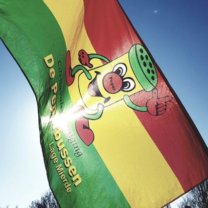
The village boasts a vibrant community life, including two shooting clubs and various neighbourhood associations. In addition to these neighbourhood associations, organised football was first played in Lage Mierde in 1925. This is where the club ‘S.D.O. ’39’, which is still active today, was founded. Lage Mierde is also an integral part of the carnival celebrations. During this festive period, the residents are known as ‘Peperbussen’. They owe this name to St Stephen’s Church. The church tower in Lage Mierde used to have a low cap on top, and such a cap was called a ‘pepper pot’.